Route of the Silver Kings
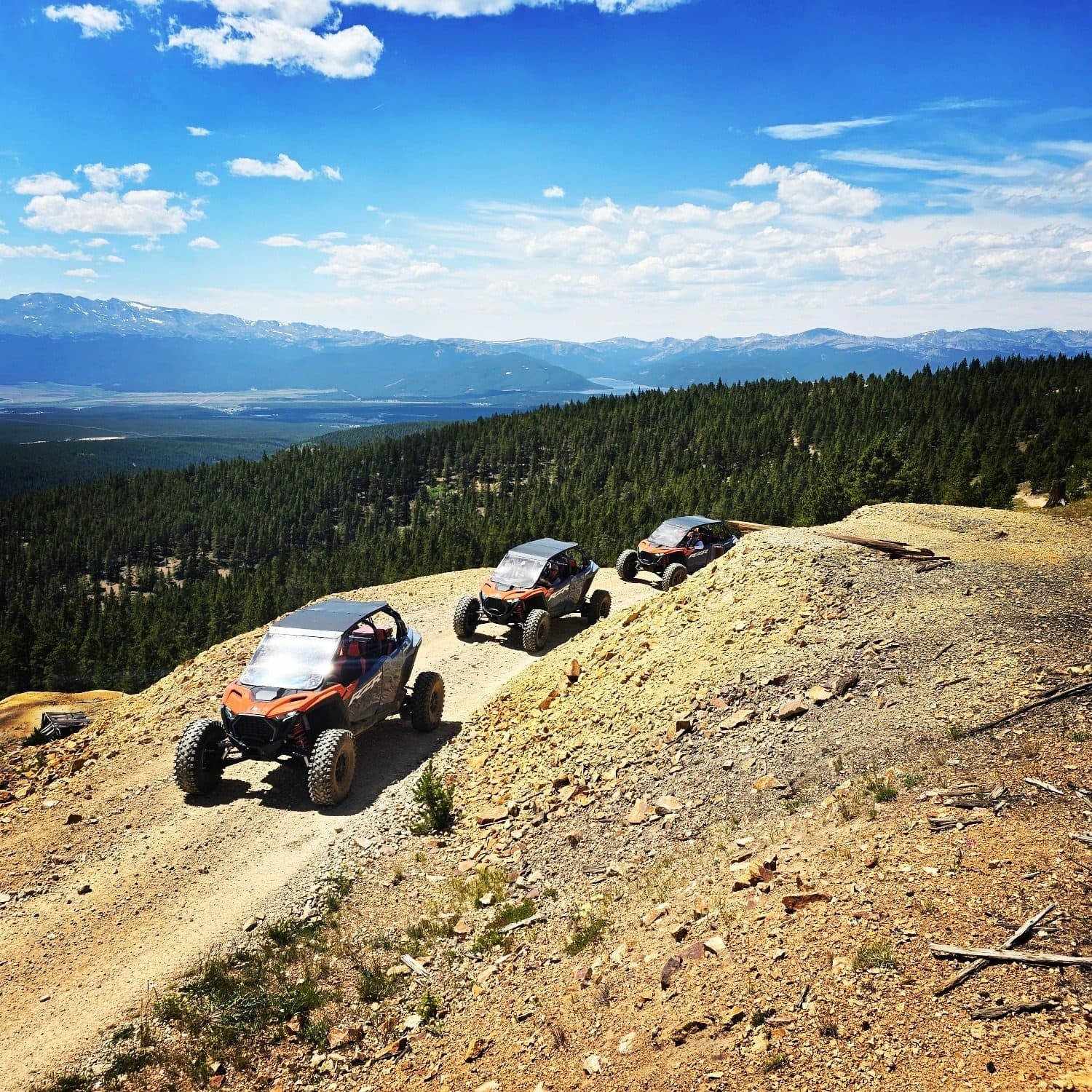
Take a driving tour through the 20-square-mile historic mining district surrounding Leadville. The tour is on dirt roads, and most roads are passable in cars. The Route of the Silver King tour has 14 stops, including mines, power plants, ghost towns, and mining camps.
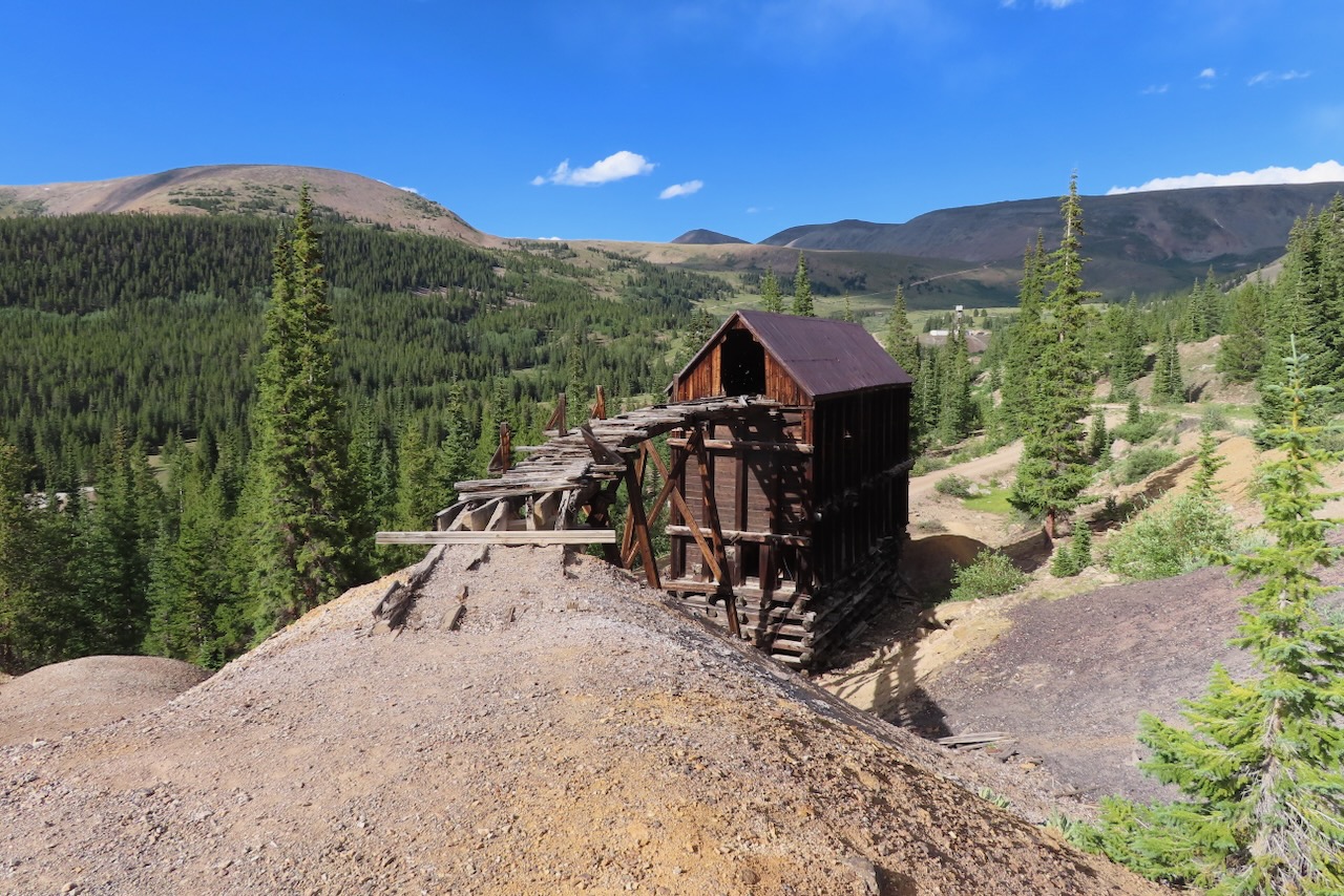
The route is 21 miles or 34 kilometers long and rises from 10,152 feet (City Hall Bench Mark) in Leadville to 11,700 feet at Stop 14, the Venir Mine site. It follows county roads that are mostly gravel/dirt surface with some pavement. Some areas can be rough and steep in places.
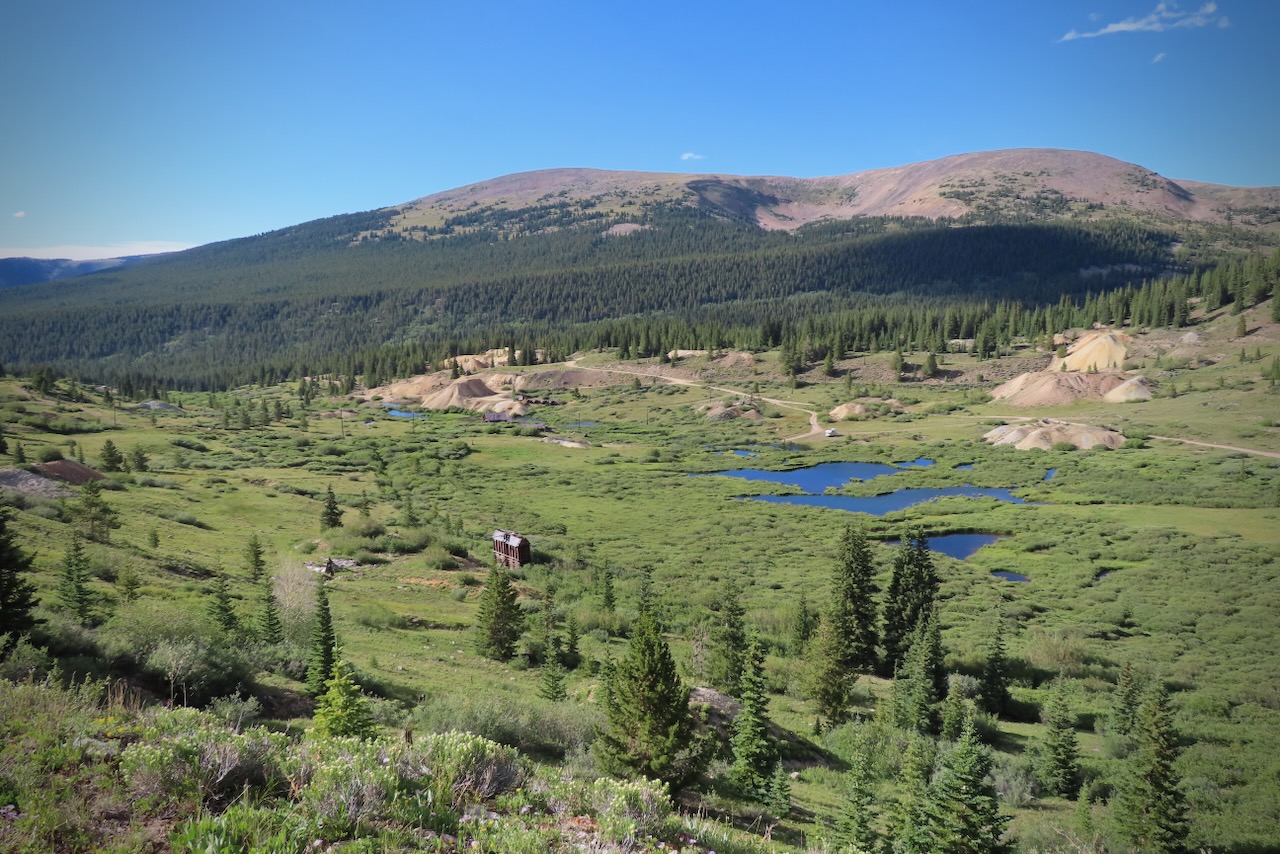
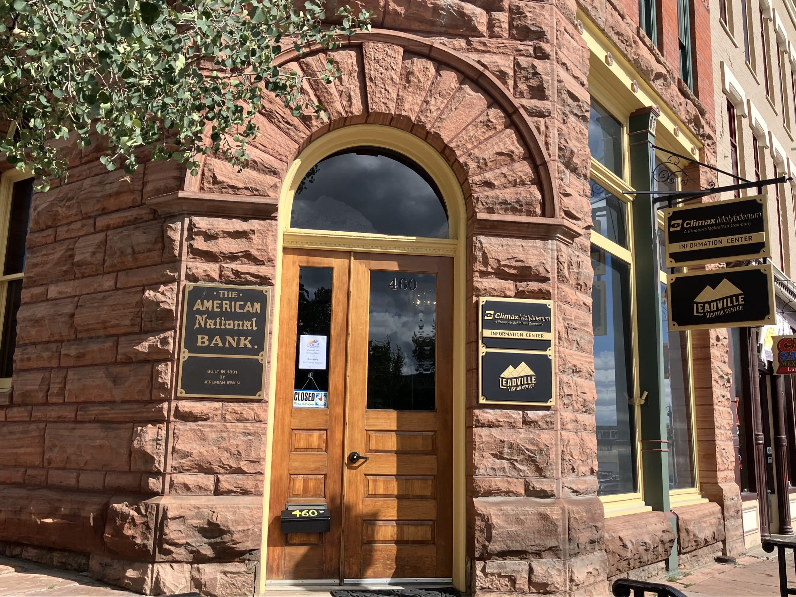
The 14 stops are marked by metal roadside posts, each with a small numbered yellow sign. You can pick up a printed guide at the Herald Democrat (717 Harrison Ave.) or the Visitor Center (460 Harrison Ave.). Visit RouteoftheSilverKings.org and go virtual and follow the route in real time with Avenza GIS or Global Mapper GIS apps.
Download the PDF Guide to the Route of the Silver Kings