
Clear Creek Watershed + Forest Health Partnership
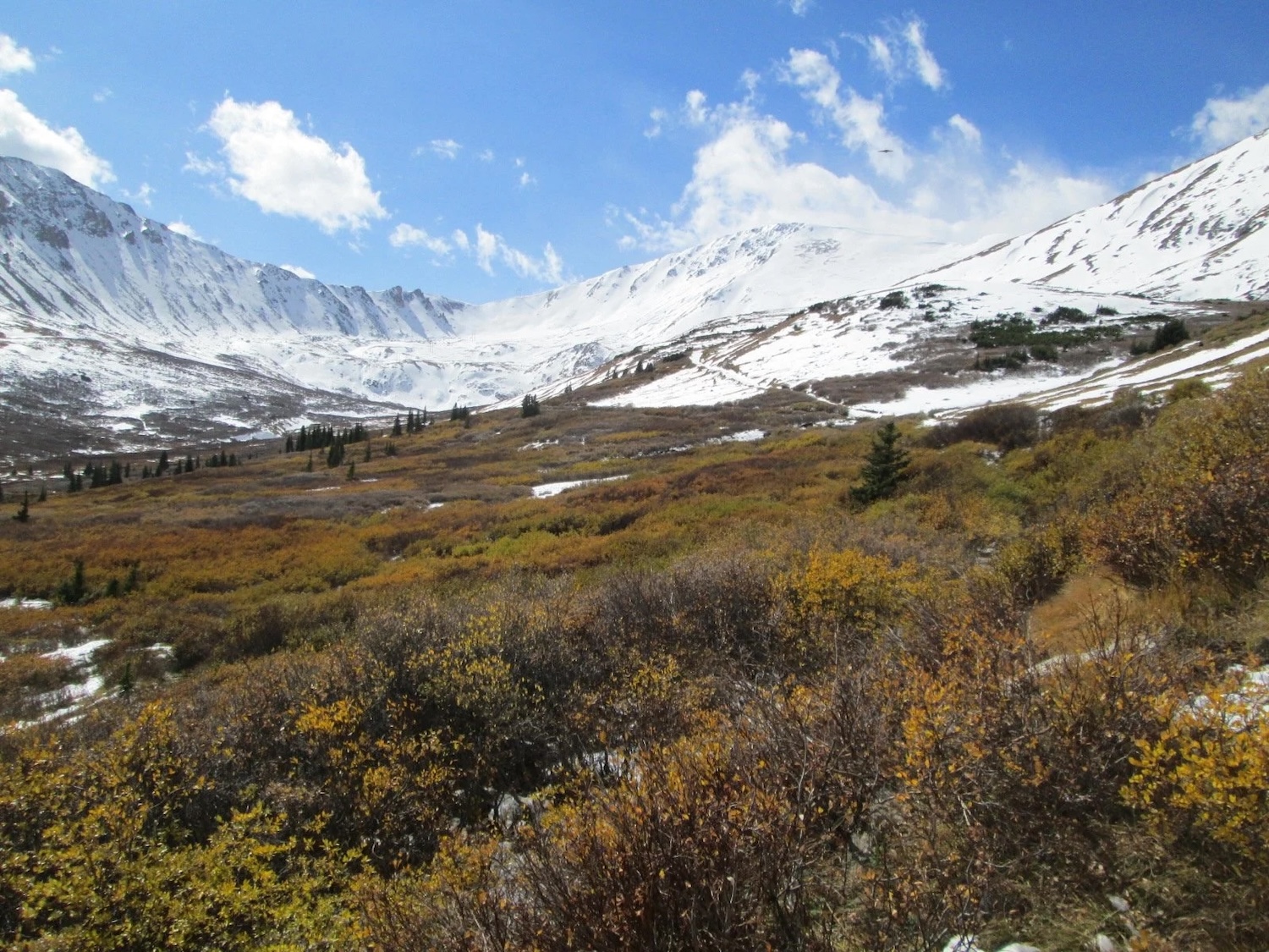
The upper Clear Creek watershed spans more than 400 square miles from the Continental Divide to the foothills near Golden. This high-elevation basin supports drinking water supplies, wildlife habitat, outdoor recreation, and the communities that depend on the creek’s stability. Increasing wildfire risk, stressed forest conditions, and vulnerable stream corridors have highlighted the need for coordinated, landscape-scale resilience efforts.
About the Partnership
The Clear Creek Watershed & Forest Health Partnership (CCWFHP) formed in response to a pre-wildfire risk assessment that called for basin-wide collaboration. With land ownership divided among counties, municipalities, utilities, and state and federal agencies, no single entity could address vulnerabilities alone. CCWFHP provides a shared framework for information, planning, and action across jurisdictions.
Program Purpose
The Clear Creek Watershed & Forest Health Partnership’s program supports coordinated, basin-wide efforts to reduce wildfire risk, protect water resources, and strengthen forest and watershed resilience. By aligning the work of counties, utilities, land managers, and community partners, the program helps identify priority risks, share data, and advance on-the-ground projects that maintain ecosystem health and safeguard the communities that rely on Clear Creek.
Our Work Programs
CCWFHP supports projects identified in regional plans—such as forest fuels reduction, stream and floodplain protection, and mitigation in the wildland-urban interface. The Partnership helps determine where risk is highest and assists local partners in building the capacity to implement effective, science-based treatments.
Regular meetings and seasonal field tours bring together local governments, utilities, land managers, and community groups. These gatherings keep partners aligned on watershed conditions, project timelines, funding opportunities, and emerging needs.
Conservation & Resilience
Partnership-supported efforts focus on maintaining watershed function and preparing for post-fire impacts. Work includes improving forest structure, addressing erosion-prone areas, and protecting water-supply infrastructure. Aerial monitoring flights, conducted with LightHawk, provide imagery used for planning, orientation, and communicating conditions to decision-makers.
How to Help
Donation Contributions strengthen local capacity to reduce wildfire risk and protect the watershed’s long-term health.
Volunteer Residents and regional partners can assist with outreach, education, and community-based resilience activities. Opportunities vary throughout the year based on project needs.