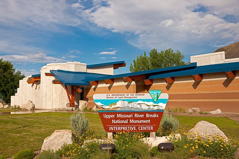
Upper Missouri River Breaks National Monument
The Upper Missouri River Breaks National Monument contains a spectacular array of biological, geological, and historical objects of interest. From Fort Benton to the Charles M. Russell National Wildlife Refuge, the monument spans 149 miles of the Upper Missouri River, the adjacent Breaks country, and portions of Arrow Creek, Antelope Creek, and the Judith River. The monument includes six wilderness study areas, the Cow Creek Area of Critical Environmental Concern, segments of the Lewis and Clark National Historic Trail and the Nez Perce National Historic Trail, the Fort Benton National Historic Landmark, a watchable wildlife area and the Missouri Breaks Back Country Byway. In 1976, Congress designated the Missouri River segment and corridor in this area a National Wild and Scenic River. The area has remained largely unchanged in over 200 years since Meriwether Lewis and William Clark traveled through it on their epic journey. Within the monument you can float the river, fish, hike, hunt, drive for pleasure, find a little solitude, enjoy a sense of exploration in a remote setting or simply marvel at the variety of natural beauty.
Planning a Visit The public lands of the Upper Missouri River Breaks National Monument, both under federal and state management, make a significant contribution to the local lifestyle and the regional economy. Within the monument you can float the river, fish, hike, hunt, camp, drive for pleasure, find a little solitude, enjoy a sense of exploration or simply marvel at the variety of resources around you.
Vast portions of the monument are serviced only by graveled and unimproved roads. Much of the monument is not accessible by any road, inviting visitors to explore on foot. Visitors are encouraged to visit the Missouri Breaks Interpretive Center or Lewistown or Havre Field Offices. Staff will be able to assist with maps, local outfitters, closure information, and general safety tips. All visitors are encouraged to carry a map and have basic land navigation skills before exploring the remote areas of the monument.
In some areas, the BLM lands are intermingled with State of Montana lands and private property. It is important that visitors enjoying the public lands of the monument remember to respect the rights of private land owners and be aware of trespassing.
Access Public access to the Upper Missouri River and the Upper Missouri River Breaks National Monument is remote and limited, so you need to plan ahead and be prepared for inclement weather and difficult travel conditions.
Private landowners along the river and within the uplands are able to enter the river and private parcels from their own land, but visitors must use the developed public access sites.
Under the Montana Stream Access Law, the public may use rivers and streams for recreational purposes up to the ordinary high-water marks. Although the law gives recreationists the right to use rivers and streams for water-related recreation, it does not allow them to enter posted lands bordering those streams or to cross private lands to gain access to streams. Complete rules are available at any Montana Fish, Wildlife & Parks office.