Peters Ridge Trail #37
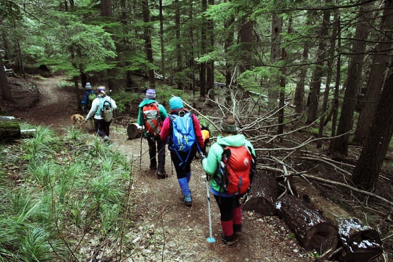
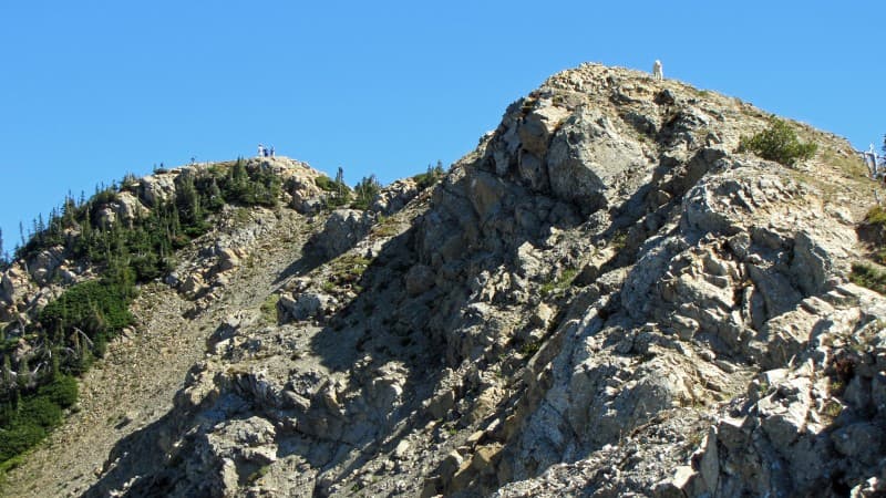
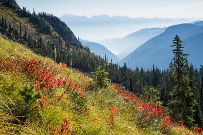
Peters Ridge Trail #37 offers "quick" access to sweeping views of the Flathead Valley, in NW Montana. The trail tends to be steeper and more rugged than the well-known Strawberry Lake Trail #5, another Alpine Trail #7 connector trail a few drainages to the south. The first half of the hike is mostly forested with a few openings allowing glimpses of Flathead Lake and the Bigfork area. The latter half is exposed and traverses into a bowl before climbing up to the ridge with sweeping views of rolling agriculture fields, lakes and much of the Flathead Valley to the north and west. From Peters Ridge you can choose to traverse the ridge or drop down to Alpine Trail #7.
Highlights and Best Features of this Trail
- Incredible views overlooking much of Flathead Valley
- Access to Alpine Trail #7
Trail Distance
2.6 miles to the junction with Alpine Trail #7
Trail Vertical Gain or Loss
Vertical Gain: 1,445 feet (4,905 ft – 6,350 ft)
Trail Condition Report
Click HERE for current trail condition reports from the United States Forest Service. These are updated at least bi-weekly June to October.
Know Before You Go
- There are no bathroom facilities at trailhead.
- Bring water, layers and food.
- You are in bear country! Always bring bear spray and be aware of your surroundings.
ADVENTURE SMART
If getting out into the great outdoors is a new endeavor we welcome you and ask you to learn about Leave No Trace Principles and Recreate Responsibly before heading out. Also, we recommend checking out Adventure Smart for tips on how to explore safely. If you're a seasoned adventurer it never hurts to brush up on proper practices too.
Driving Directions from Nearest Town or Landmark
From Bigfork, go north on Highway 35 for 2.3 miles and turn right onto Highway 83. Stay on Hwy 83 for 2.8 miles and turn left onto Echo Lake Road. After 2.2 miles, turn slightly right onto the Foothills Road. Follow the Foothills Road for 6.5 miles to Forest Service Road # 5385 (Foothill Rd curves to the west here). Turn right onto Rd. 5385 for 1.7 miles, continue straight onto Forest Service Road #5388 when Road #5385 turns, and drive 3.9 miles to the trailhead on the right.