Birch Lake Trail #724 & Crater Lake
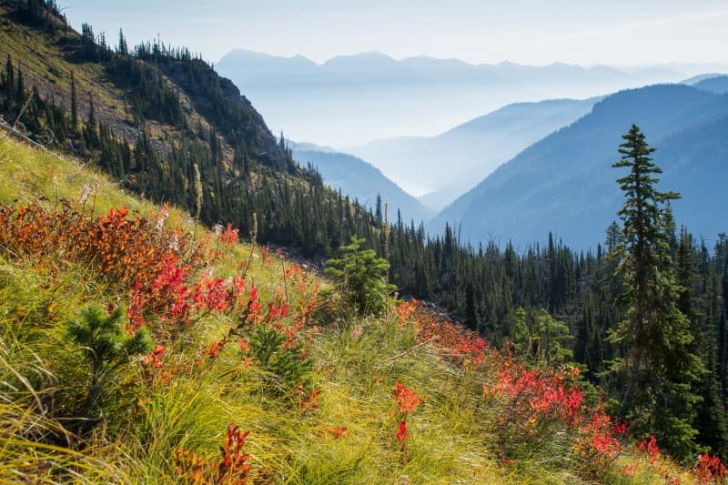
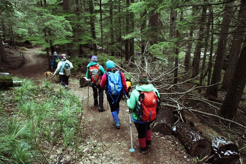
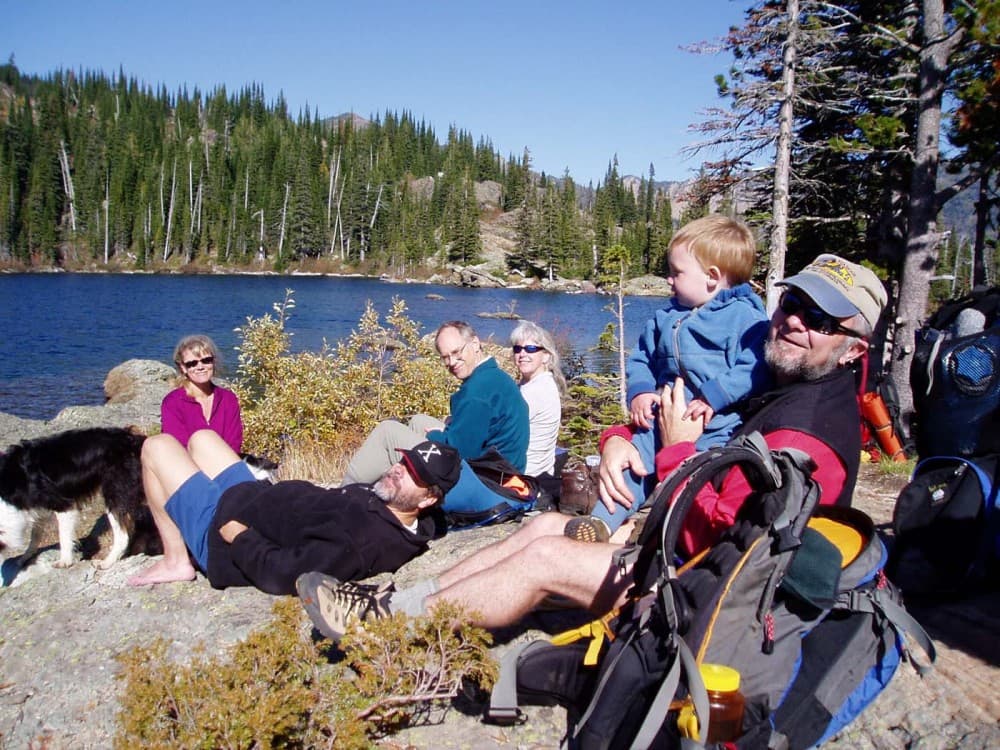
Birch Lake and out to Crater Lake, in Western Montana's Jewel Basin Hiking Area, are both great day hikes for the family and lovers of alpine lakes with views. The trails are relatively easy hikes after the initial elevation gain from the Camp Misery Trailhead. Best accessed July through August you'll be able to enjoy wildflowers and ripe berries.
Highlights and Best Features of this Trail
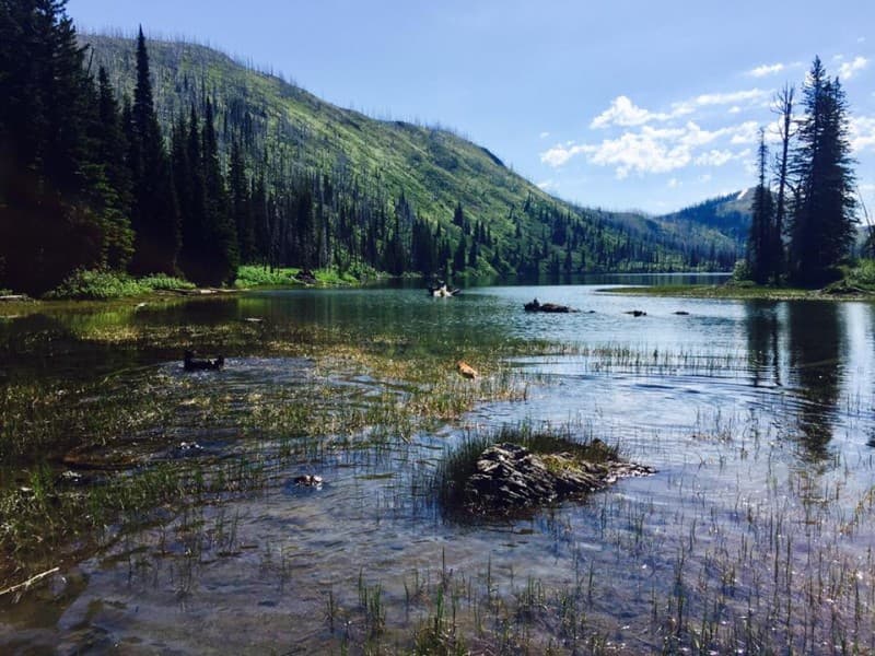
Birch Lake
- Mostly level traverse
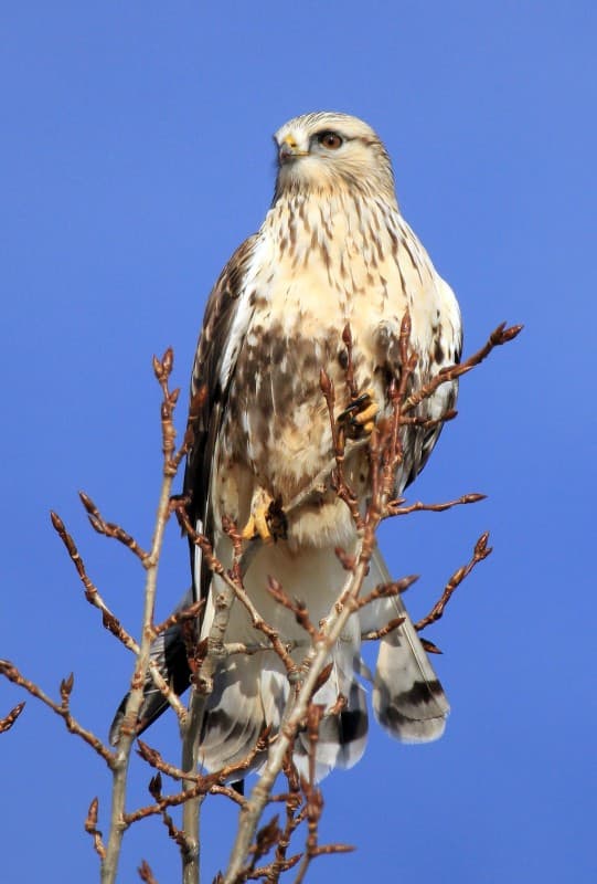
- Wildlife viewing
- Wildflowers
- Good trout fishing
- Semi-private swimming and camping spots
- Somewhat shallow alpine lake
- Trail connects to Crater Lake and the longer Jewel Basin trail network (Alpine #7)
- Views of the Bob Marshall, Swan, Mission and Salish Mountain Ranges
Crater Lake
- Less crowds
- Wildlife Viewing
- Wildflowers
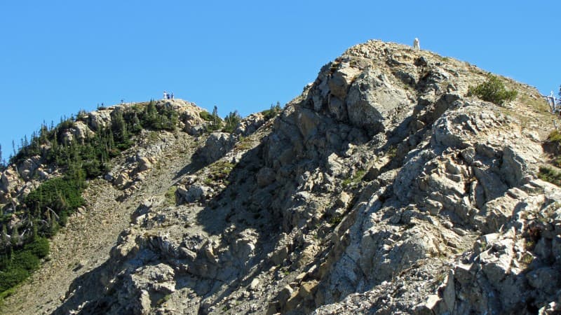
- Sits in a cirque below Crater Mountain (6,787 ft)
- Flathead Valley views
- Great cold water swimming
- Deep granite lake with rock outcroppings
- Trail connects to Crater Lake and the longer Jewel Basin trail network (Alpine #7)
Trail Distance
Camp Misery Trailhead to Birch Lake- 6.8 miles (10.9 km) roundtrip & Camp Misery Trailhead to Crater Lake- 13 miles (20.8 km) roundtrip
Trail Vertical Gain or Loss
Birch Lake approximately 1,850 feet gain & Crater Lake approximately 1,000 feet gain
Trail Condition Report
Click HERE for current trail condition reports from the United States Forest Service. These are updated at least bi-weekly June to October.
Know Before You Go
- There is only a valut toielt at Camp Misery Trailhead.
- Bring water, layers and food.
- You are in bear country! Always bring bear spray and be aware of your surroundings.
ADVENTURE SMART
If getting out into the great outdoors is a new endeavor we welcome you and ask you to learn about Leave No Trace Principles and Recreate Responsibly before heading out. Also, we recommend checking out Adventure Smart for tips on how to explore safely. If you're a seasoned adventurer it never hurts to brush up on proper practices too.
Driving Directions from Nearest Town or Landmark
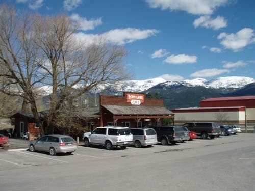
From Bigfork, Montana take Hwy 35 north to Hwy 83. Head east on Hwy 83 to the junction of the Echo Lake Road. Head north on Echo Lake Road about 3 miles to junction with the Jewel Basin Road (No. 5392). Follow this road approximalty 7 miles to the trailhead. CAUTION: The last 5 miles are steep. Use headlights for safety. Caution advised for low clearance vehicles. Trailers not recommended.
From Kalispell, Montana head east on Highway 2. Where Highway 2 curves and goes north, continue east on Highway 35. Make a left onto Lake Blaine Road which turns into Foothill Road. Foothill Road winds south along the base of the mountains. Turn left onto Jewel Basin Road (FS Road 5392) and follow it about 7 miles to the Camp Misery Trailhead. Caution: the last 5 miles are steep and not recommended for low-clearance vehicles.
Start at Camp Misery Trailhead, take the trail (old service road) to the right of the ranger administrative building, the road will narrow into a trail, follow it as it skirts Checkboard Ridge to where the trail converges with Alpine Trail #7. Follow Alpine Trail #7 to Birch Lake. Stop at Birch Lake or cross the creek at the head of the lake and continue on Alpine Trail #7 to Crater Lake.
Bathrooms are located at the Camp Misery Trailhead. Make sure you bring plenty of water with you as no water is available at trailhead. Bring bear spray, practice leave no trace, pick berries sparingly, take lots of photos and enjoy your visit! Take note of your route as Jewel Basin has numerous crossing trails. Camp Misery Trailhead is the most popular access to the Jewel Basin Hiking Area, so plan to arrive early on weekends. View above pdf for a map of area.