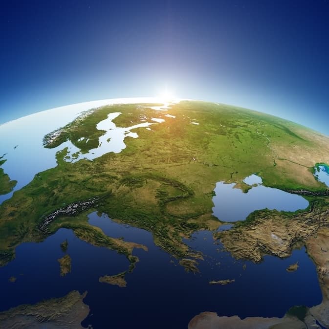
American Praire Reserve
American Prairie Reserve is a private, nonprofit effort to create the largest wildlife reserve in the continental United States by linking together more than three million acres of private and public land on Montana's legendary Northern Great Plains.
Choose your own adventure
American Prairie owns several properties that connect public lands spread across central and northeastern Montana. Each property varies in size and includes terrain like sagebrush plains, riparian areas, and the steep, eroded hills of the Missouri Breaks. The diverse landscape gives visitors the opportunity to see wildlife in their natural habitats, and Indigenous and homestead-era sites serve as a reminder of the important history and cultural significance of the region.
The region contains some of the most remote areas of the lower-48 states. We ask visitors to self-educate and be prepared prior to planning a trip, and choose options that meet personal skill levels.
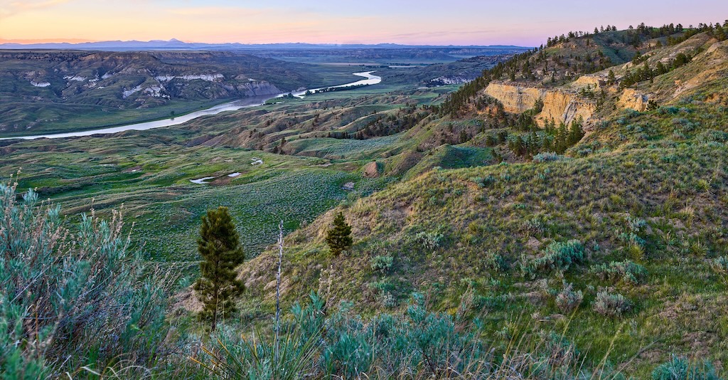
Roam the Prairie
From driving tours with historic stops, to wildlife and night sky viewing, a trip to American Prairie offers an opportunity to experience one of our nation’s wildest landscapes.
-
Explore Gateway Communities
We encourage you to visit gateway communities for the goods and services you need for a comfortable, educational and enjoyable adventure. Resources for each community can be found here.
American Prairie National Discovery Center
The American Prairie National Discovery Center is the gateway to the prairie and a central gathering place for visitors from around the world.
Location: 302 W Main St Lewistown, MT 59457
Hours: Thursday-Saturday from 10am-4pm
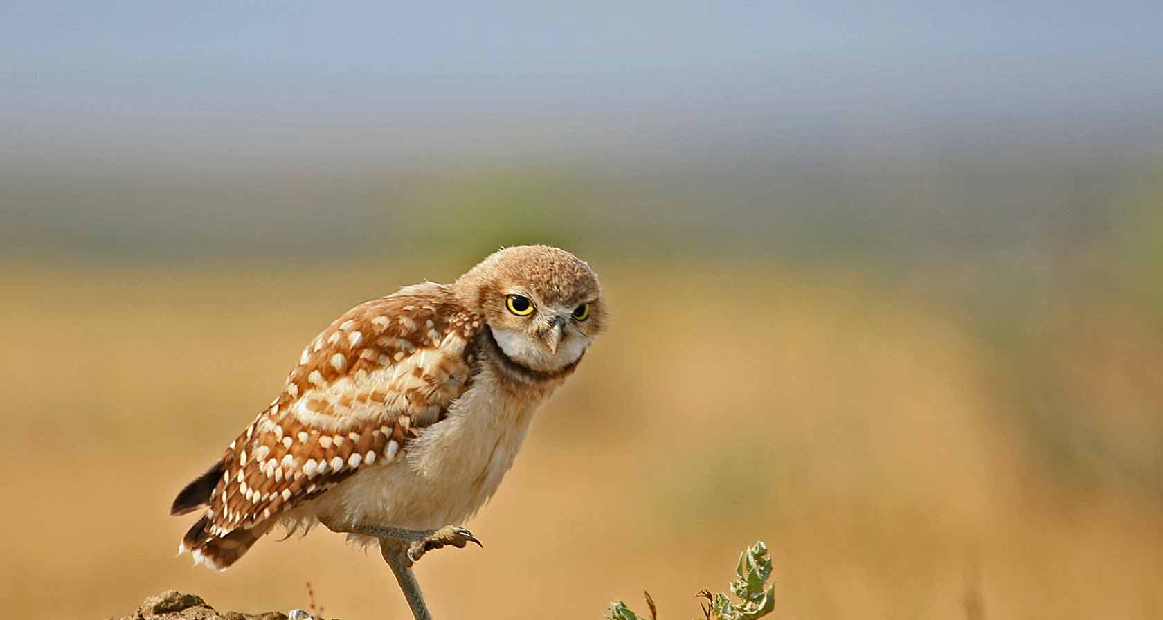
Visit
Maps on your Smartphone
For all visitors with access to a smartphone, we highly recommend using Avenza Maps. This free app allows you to download American Prairie’s maps (also free) and then use them even when you have no cell phone service. The GPS chip in your phone allows the map to show your location on the ground.
Download the Avenza App to your smartphone from the Google Play Store or from the App Store. Once you have installed the app, download American Prairie’s Current Maps. Be sure to do this before your trip, when you have wifi or good cell service.
Driving
Most visitors access the PN, Mars Vista, and Sun Prairie properties via Lewistown in the south and Malta in the north. Travel distances are long, and visitors must plan fuel stops in advance. No fuel is available on American Prairie. Credit card-operated 24-hour fuel pumps with both gas and diesel are located in Lewistown, Malta, and Lodgepole.
If you plan to travel off the pavement in the region, a 4WD vehicle is required along with a full-size spare tire. Please see our Prairie Conditions page for more information on driving.
Google Maps, Apple Maps, and similar online services are unreliable in the region, provide incorrect routing through private land or unmaintained roads, and the cell coverage they require is infrequent. We do not recommend them for navigating any unpaved roads in the region.
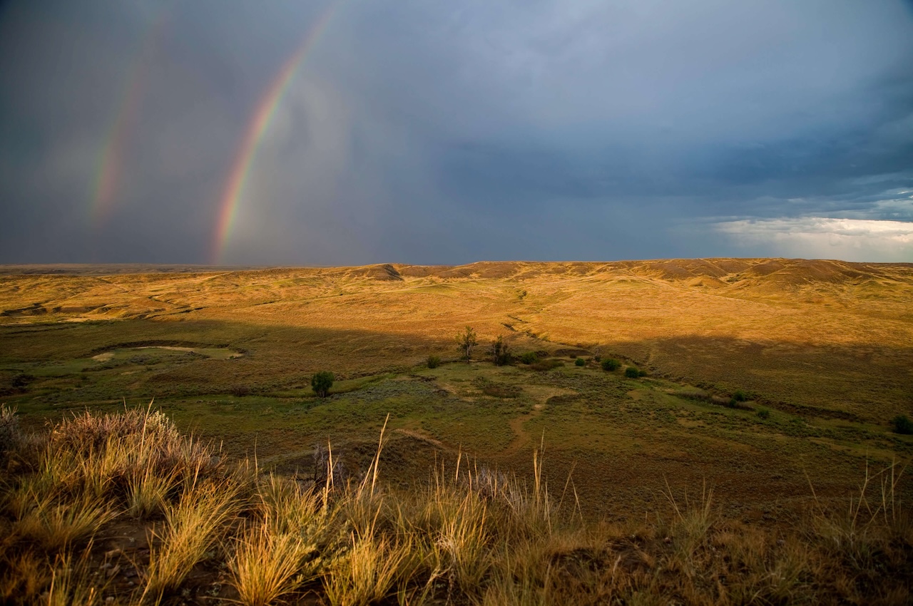
Where to stay
Our selection of huts and campgrounds provide basecamps for any type of adventurer. View on-site and local accomodations here.
Important Note Services are limited once leaving paved roads and highways, cell phone coverage is unreliable, and there are no ranger-type staff available to provide emergency assistance. Please abide by posted signage and refer to American Prairie-provided maps for property-specific rules. Follow Leave No Trace principles during your trip, refer to public land agencies for rules and regulations, and respect adjacent private property. Visitors are encouraged to stop by the National Discovery Center for help planning their trip to the prairie and to learn about the history and importance of the temperate grassland ecosystem.